DRONE MAPPING & ENVIROMENTAL ANALYSIS
We fly high!
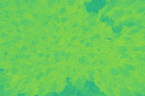
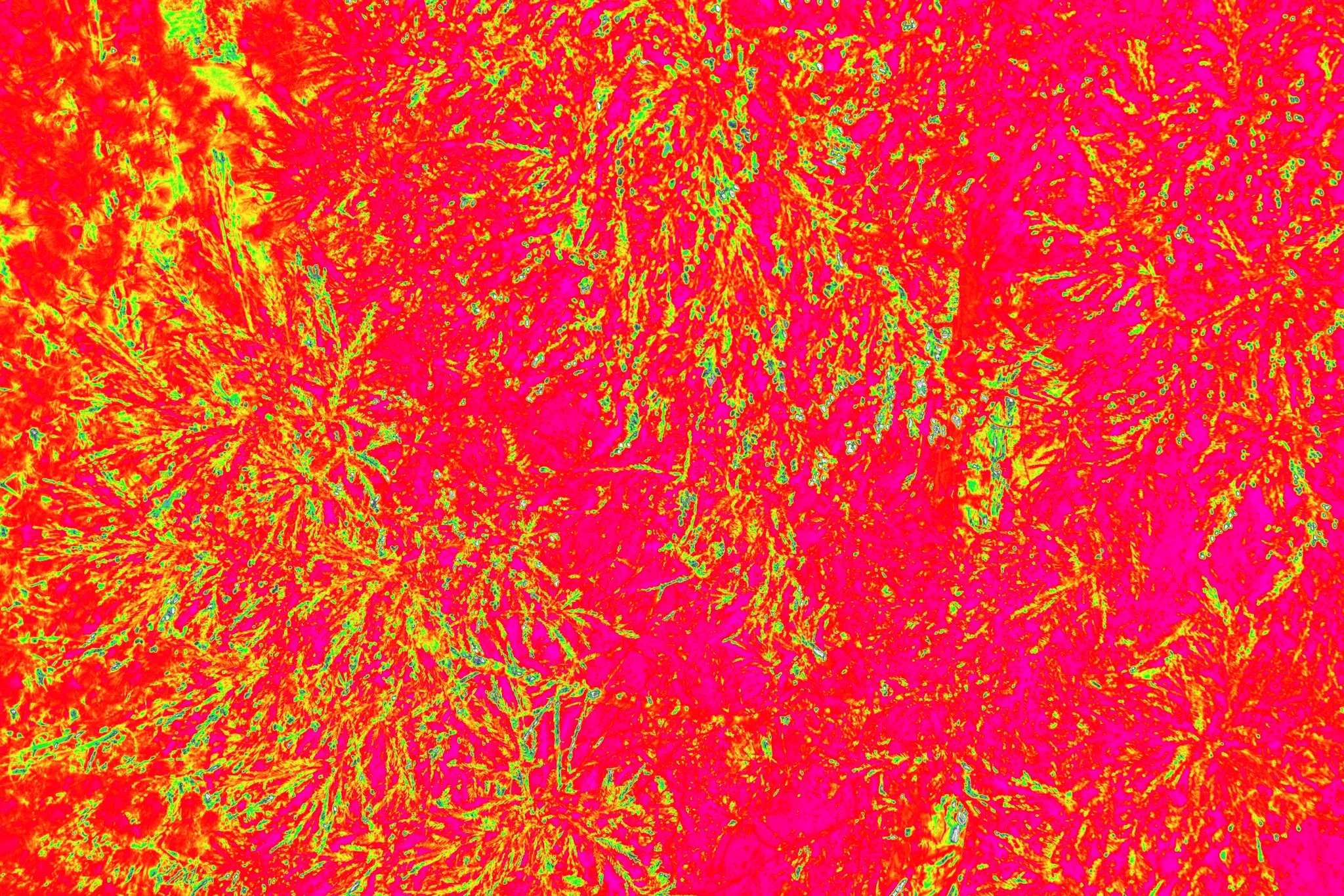
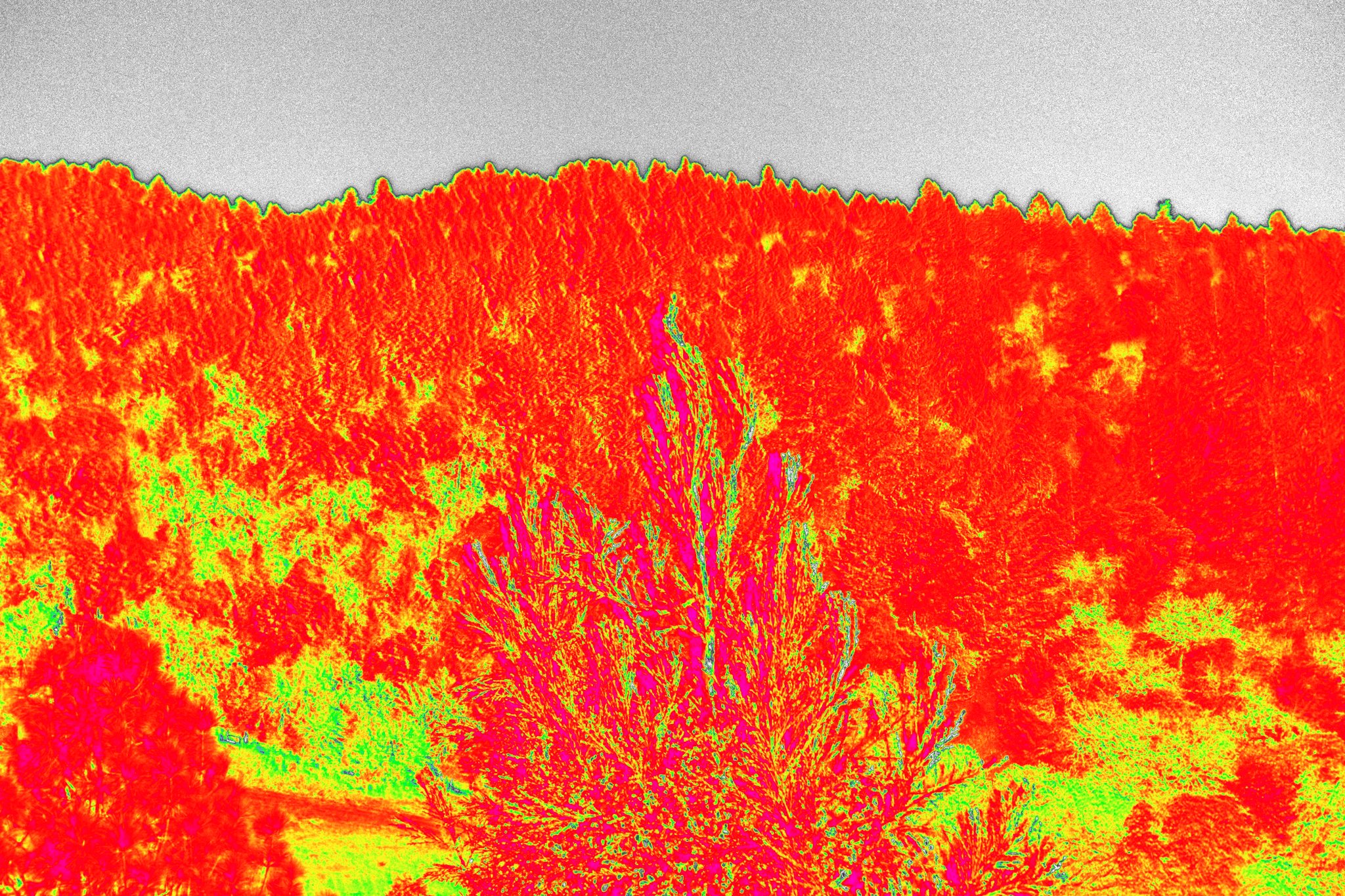
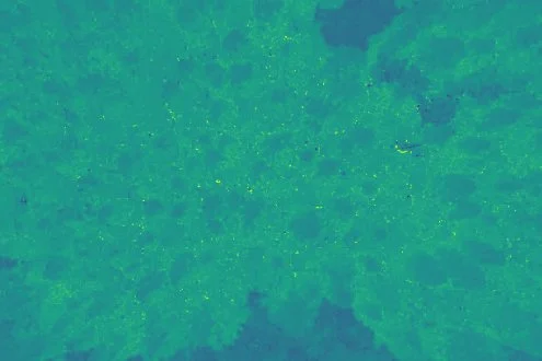
High Resolution imagery and surface elevation models to assess terrain, slope, drainage patterns, vegetation condition, and relative burn severity.
Multispectral vegetation analysis to evaluate plant health, moisture stress, regrowth abd survival rates using indices as NDVI and NDRE.
GIS base analysis and mapping including post wildfire assessments, change detection, and survival surveys to support reforestation, erosion risk evaluation, and land managment decisions.